


15.6 km | 24 km-effort


User


FREE GPS app for hiking
 SityTrail
IGN / Geographical institutes
SityTrail World
The world is yours!
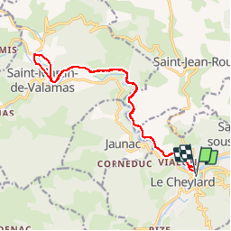
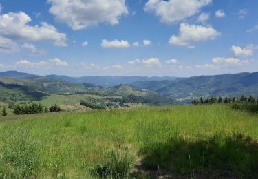
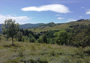
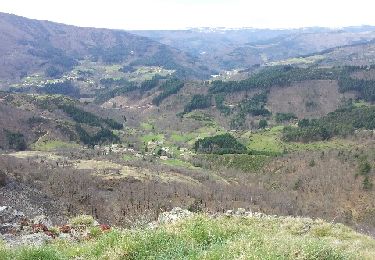
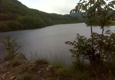
Trail Walking of 17.4 km to be discovered at Auvergne-Rhône-Alpes, Ardèche, Le Cheylard. This trail is proposed by voyageur_nature.
Aller -> Retour
Le Cheylard
Saint Martin de Valamas
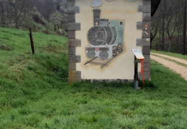
Par la Dolce Via


Walking
Walking

Walking

Walking
Walking
Walking
Running
Mountain bike

Walking